本文主要是介绍QGIS加载底图,希望对大家解决编程问题提供一定的参考价值,需要的开发者们随着小编来一起学习吧!
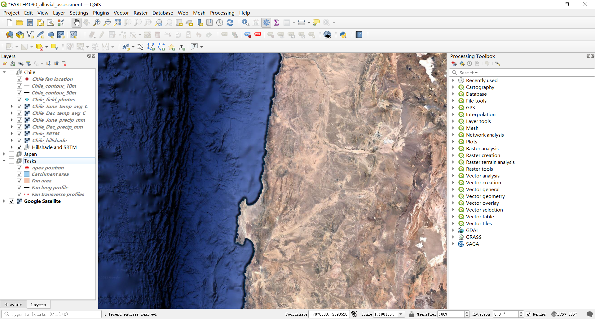
If you cannot see the background Google Satellite imagery you will need to insert this file yourself. Go to browser, right click on XYZ tiles -> new connection (Fig 3A). Name the connection ‘Google Satellite’ and in URL paste: http://www.google.cn/maps/vt?lyrs=s@189&gl=cn&x={x}&y={y}&z={z}. This links QGIs to the server to obtain this imagery. Click ok (Figure 2B). You should now see ‘Google Satellite’ in your XYZ tiles folder. Right click ‘Add layer to project’. The satellite imagery should now appear. You can move this layer to the back by dragging it down to be at the bottom of the layer list.
If this does not work there is alternative way. Go to Layer -> add layer-> add ArcgGISserver layer ->. A new window appears. Click ‘new’. In name put ‘map and copy this link (https://services.arcgisonline.com/ArcGIS/rest/services/World_Imagery/MapServer) into URL. Click ok. This will take you back to the original window. Click on the drop down menu and ‘map’ should appear. Click on this and then select ‘connect’. A list should appear and select ‘0 –world imagery’. Click add and then imagery should appear.
总结:有两种常用的底图服务可以添加(Google and ArcGIS)
选择:XYZ tiles -> new connection再添加下列两个URL中的一个:
http://www.google.cn/maps/vt?lyrs=s@189&gl=cn&x={x}&y={y}&z={z}
https://services.arcgisonline.com/ArcGIS/rest/services/World_Imagery/MapServer
之后就能在XYZ tiles folder下面找到底图了,右键添加即可
到底图了,右键添加即可
这篇关于QGIS加载底图的文章就介绍到这儿,希望我们推荐的文章对编程师们有所帮助!


